Purtroppo, questa descrizione non è stato tradotto in italiano, in modo da trovare a questo punto una descrizione inglese.
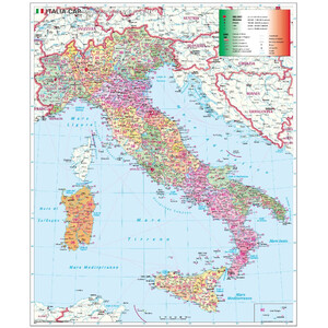
Stiefel Verlag Poster street and postcode map (multilingual)
This map shows not only the European mainland, but also Turkey. Thus it extends the classical representation by an important trade partner. As the map is multilingual, the inscriptions can be read in the respective national language. Ideal as an overview and planning map. Informative and cheap!
- Current national borders, political structure
- main transport links, motorways, European roads, federal roads and the main railway links
- Picture with the complete Turkey
- important ferry connections
- Postal and administrative routing
- Scandinavian countries and Iceland shown on side maps
- Identification of regional capitals
- Labeling in the respective national language
- Scale: 1 : 4 Mio.

