
Globi & mappe
> Mappe
> Mappe del Mondo
> National Geographic
> Executive
> National Geographic Carta antica del Nord America
Recensioni clienti
Non ci sono ancora recensioni per questo prodotto.Scrivi la tua recensione:
Avete domande specifiche sul vostro ordine o sui prodotti? Contattate il nostro servizio clienti!
I clienti che hanno comprato questo prodotto hanno comprato anche...
$ 28,90
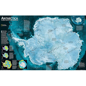
National Geographic Carta continentale Antartide
$ 28,90
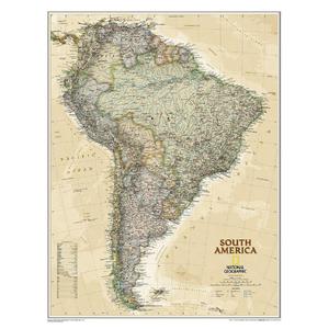
National Geographic Carta antica del Sud America
$ 87,00
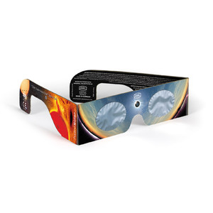
Baader AstroSolar Occhiali per l'osservazione di eclissi solari, 25 pezzi
$ 110,00
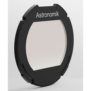
Astronomik Filtro luminanza UV-IR cut L-2 EOS-Clip
$ 150,00
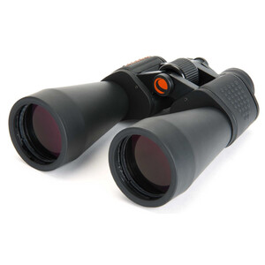
Celestron Binocolo SkyMaster 12x60

$ 92,00
Baader Adapter Morsetto ClickLock 2" M54