
Recensioni clienti
Non ci sono ancora recensioni per questo prodotto.Scrivi la tua recensione:
Avete domande specifiche sul vostro ordine o sui prodotti? Contattate il nostro servizio clienti!
I clienti che hanno comprato questo prodotto hanno comprato anche...
$ 28,90
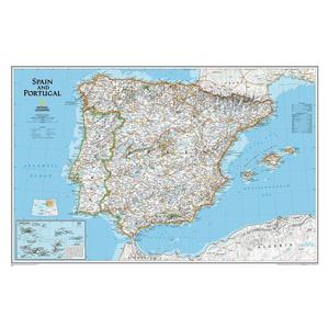
National Geographic Mappa Spagna e Portogallo
$ 28,90
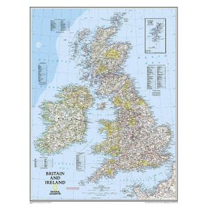
National Geographic Mappa Carta regionale delle isole Britanniche
$ 28,90
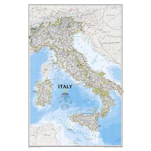
National Geographic Mappa Italia
$ 30,90
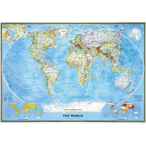
National Geographic Mappa del Mondo Planisfero politico classico
$ 28,90
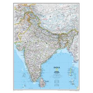
National Geographic Mappa India
$ 28,90
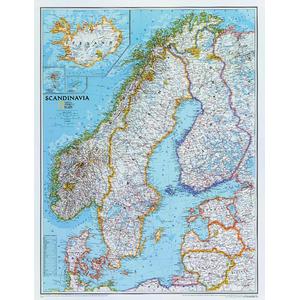
National Geographic Mappa Regionale La Scandinavia